
東桜二丁目 topographic map
Interactive map
Click on the map to display elevation.
About this map
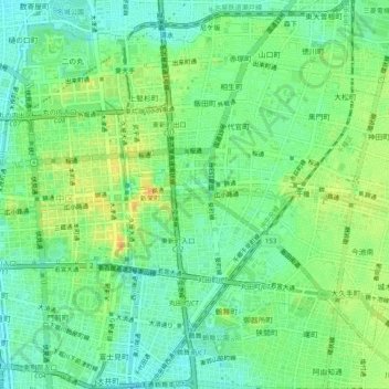
Name: 東桜二丁目 topographic map, elevation, terrain.
Location: 東桜二丁目, Naka Ward, Nagoya, Aichi Prefecture, 460-0004, Japan (35.14967 136.89726 35.18967 136.93726)
Average elevation: 18 m
Minimum elevation: 3 m
Maximum elevation: 38 m