
Thank you for supporting this site ❤️
Make a donation
Make a donation
Shaughnessy topographic map
Click on the map to display elevation.
Thank you for supporting this site ❤️
Make a donation
Make a donation
About this map
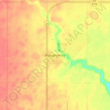
Name: Shaughnessy topographic map, elevation, terrain.
Location: Shaughnessy, Lethbridge County, Alberta, T0K 2A0, Canada (49.83374 -112.86179 49.87374 -112.82179)
Average elevation: 907 m
Minimum elevation: 867 m
Maximum elevation: 924 m
Thank you for supporting this site ❤️
Make a donation
Make a donation
Other topographic maps
Click on a map to view its topography, its elevation and its terrain.