
Thank you for supporting this site ❤️
Make a donation
Make a donation
Shell Lake topographic map
Click on the map to display elevation.
Thank you for supporting this site ❤️
Make a donation
Make a donation
About this map
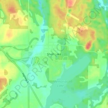
Name: Shell Lake topographic map, elevation, terrain.
Location: Shell Lake, Spiritwood No. 496, Saskatchewan, Canada (53.28540 -107.07881 53.32540 -107.03881)
Average elevation: 568 m
Minimum elevation: 550 m
Maximum elevation: 594 m
Thank you for supporting this site ❤️
Make a donation
Make a donation