
Thank you for supporting this site ❤️
Make a donation
Make a donation
Mountain Dale topographic map
Click on the map to display elevation.
Thank you for supporting this site ❤️
Make a donation
Make a donation
About this map
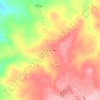
Name: Mountain Dale topographic map, elevation, terrain.
Location: Mountain Dale, Preston County, West Virginia, United States (39.59731 -79.53421 39.63731 -79.49421)
Average elevation: 734 m
Minimum elevation: 600 m
Maximum elevation: 816 m
Thank you for supporting this site ❤️
Make a donation
Make a donation
Other topographic maps
Click on a map to view its topography, its elevation and its terrain.
Thank you for supporting this site ❤️
Make a donation
Make a donation
Thank you for supporting this site ❤️
Make a donation
Make a donation