
Thank you for supporting this site ❤️
Make a donation
Make a donation
Gorrie topographic map
Click on the map to display elevation.
Thank you for supporting this site ❤️
Make a donation
Make a donation
About this map
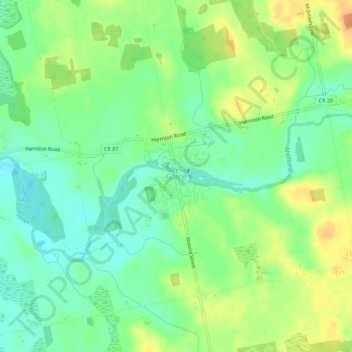
Name: Gorrie topographic map, elevation, terrain.
Location: Gorrie, Howick, Huron County, Ontario, N0G 2X0, Canada (43.85119 -81.12923 43.89119 -81.08923)
Average elevation: 348 m
Minimum elevation: 331 m
Maximum elevation: 370 m
Thank you for supporting this site ❤️
Make a donation
Make a donation
Other topographic maps
Click on a map to view its topography, its elevation and its terrain.