
Twentekanaal topographic map
Interactive map
Click on the map to display elevation.
About this map
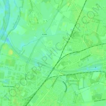
Name: Twentekanaal topographic map, elevation, terrain.
Location: Twentekanaal, Zutphen, Gelderland, Nederland, 7211AA, Nederland (52.15839 6.19151 52.16796 6.23066)
Average elevation: 9 m
Minimum elevation: 1 m
Maximum elevation: 15 m
Other topographic maps
Click on a map to view its topography, its elevation and its terrain.
Bronsbergen
Nederland > Gelderland > Zutphen
Bronsbergen, Zutphen, Gelderland, Nederland, 7206 JB, Nederland
Average elevation: 8 m