
Corcubión topographic map
Interactive map
Click on the map to display elevation.
About this map
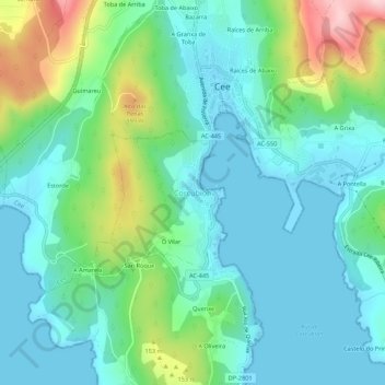
Name: Corcubión topographic map, elevation, terrain.
Location: Corcubión, Fisterra, A Corogne, Galice, 15130, Espagne (42.92450 -9.21421 42.96450 -9.17421)
Average elevation: 69 m
Minimum elevation: -1 m
Maximum elevation: 283 m
Other topographic maps
Click on a map to view its topography, its elevation and its terrain.