
Ota topographic map
Interactive map
Click on the map to display elevation.
About this map
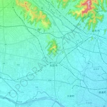
Name: Ota topographic map, elevation, terrain.
Location: Ota, Gunma Prefecture, Kanto, Japan (36.23644 139.25576 36.37874 139.44364)
Average elevation: 61 m
Minimum elevation: 21 m
Maximum elevation: 414 m
Other topographic maps
Click on a map to view its topography, its elevation and its terrain.
Tone River
Japan > Gunma Prefecture > Itakura
Tone River, Itakura, Ora District, Gunma Prefecture, Kanto, 3770201, Japan
Average elevation: 447 m