
Thank you for supporting this site ❤️
Make a donation
Make a donation
Kankakee River topographic map
Click on the map to display elevation.
Thank you for supporting this site ❤️
Make a donation
Make a donation
About this map
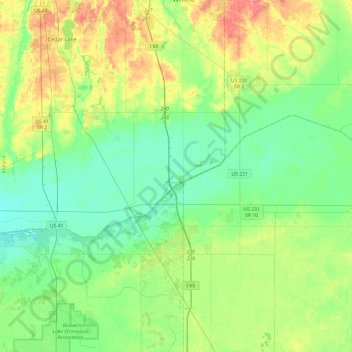
Name: Kankakee River topographic map, elevation, terrain.
Location: Kankakee River, Newton County, Indiana, 46379, USA (41.16214 -87.52536 41.28634 -87.04629)
Average elevation: 207 m
Minimum elevation: 189 m
Maximum elevation: 246 m
Thank you for supporting this site ❤️
Make a donation
Make a donation
Other topographic maps
Click on a map to view its topography, its elevation and its terrain.