
Province of Lambayeque topographic map
Interactive map
Click on the map to display elevation.
About this map
Name: Province of Lambayeque topographic map, elevation, terrain.
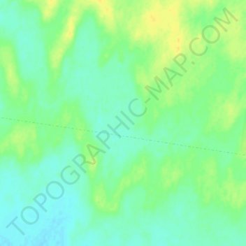
Location: Province of Lambayeque, Jayanca, Lambayeque, Peru (-6.20984 -79.94403 -6.16984 -79.90403)
Average elevation: 77 m
Minimum elevation: 69 m
Maximum elevation: 95 m