
Geographical Society Island topographic map
Interactive map
Click on the map to display elevation.
About this map
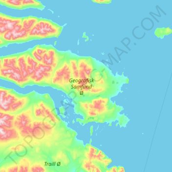
Name: Geographical Society Island topographic map, elevation, terrain.
Location: Geographical Society Island, Sermersooq, Greenland (72.67450 -24.58940 73.06603 -21.87714)
Average elevation: 178 m
Minimum elevation: -3 m
Maximum elevation: 1,508 m
Other topographic maps
Click on a map to view its topography, its elevation and its terrain.