
Ōtsuki topographic map
Interactive map
Click on the map to display elevation.
About this map
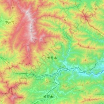
Name: Ōtsuki topographic map, elevation, terrain.
Location: Ōtsuki, Prefectura de Yamanashi, 中部地方, Japón (35.56928 138.76699 35.74261 139.06717)
Average elevation: 919 m
Minimum elevation: 232 m
Maximum elevation: 2,032 m
Other topographic maps
Click on a map to view its topography, its elevation and its terrain.
Distrito de Sunto
Oyama, Distrito de Sunto, Prefectura de Shizuoka, 中部地方, 410-1431, Japón
Average elevation: 737 m