
Miramichi Bay topographic map
Interactive map
Click on the map to display elevation.
About this map
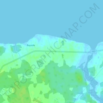
Name: Miramichi Bay topographic map, elevation, terrain.
Average elevation: 3 m
Minimum elevation: -2 m
Maximum elevation: 10 m
Other topographic maps
Click on a map to view its topography, its elevation and its terrain.
Bayside
Canada > New Brunswick > Bayside
Bayside, Charlotte County, New Brunswick, Canada
Average elevation: 29 m