
Bayside topographic map
Interactive map
Click on the map to display elevation.
About this map
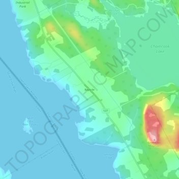
Name: Bayside topographic map, elevation, terrain.
Location: Bayside, Charlotte County, New Brunswick, Canada (45.11649 -67.13372 45.15649 -67.09372)
Average elevation: 29 m
Minimum elevation: 0 m
Maximum elevation: 156 m
Other topographic maps
Click on a map to view its topography, its elevation and its terrain.
Miramichi Bay
Canada > New Brunswick > Bayside
Miramichi Bay, Bayside, Northumberland County, New Brunswick, Canada
Average elevation: 3 m