
Wadi Al Sail topographic map
Interactive map
Click on the map to display elevation.
About this map
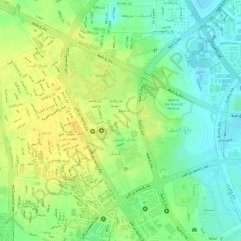
Name: Wadi Al Sail topographic map, elevation, terrain.
Location: Wadi Al Sail, Doha, Qatar (25.29975 51.49541 25.31788 51.50710)
Average elevation: 16 m
Minimum elevation: 1 m
Maximum elevation: 28 m
Other topographic maps
Click on a map to view its topography, its elevation and its terrain.
al Koot Fort
al Koot Fort, Jasim Bin Mohammed Street, Al Jasra, Doha, Qatar
Average elevation: 9 m