
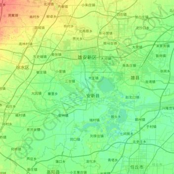
雄安新区 topographic map
Interactive map
Click on the map to display elevation.
About this map
Name: 雄安新区 topographic map, elevation, terrain.
Location: 雄安新区, 容城县, 保定市, 河北省, 053600, 中国 (38.72678 115.63564 39.17957 116.32925)
Average elevation: 13 m
Minimum elevation: 3 m
Maximum elevation: 41 m
Other topographic maps
Click on a map to view its topography, its elevation and its terrain.