
Thank you for supporting this site ❤️
Make a donation
Make a donation
Laguna Mountains topographic map
Click on the map to display elevation.
Thank you for supporting this site ❤️
Make a donation
Make a donation
About this map
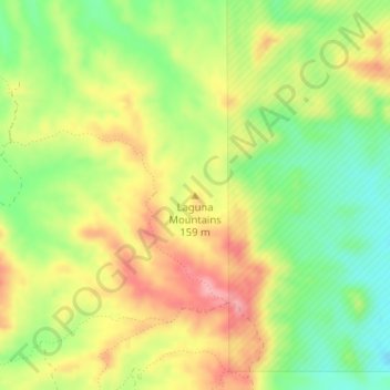
Name: Laguna Mountains topographic map, elevation, terrain.
Location: Laguna Mountains, Yuma County, Arizona, United States (32.78444 -114.44694 32.78454 -114.44684)
Average elevation: 141 m
Minimum elevation: 80 m
Maximum elevation: 206 m
Thank you for supporting this site ❤️
Make a donation
Make a donation
Other topographic maps
Click on a map to view its topography, its elevation and its terrain.