
Thank you for supporting this site ❤️
Make a donation
Make a donation
Kampung Rantau Panjang topographic map
Click on the map to display elevation.
Thank you for supporting this site ❤️
Make a donation
Make a donation
About this map
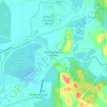
Name: Kampung Rantau Panjang topographic map, elevation, terrain.
Location: Kampung Rantau Panjang, Kuala Selangor, Selangor, Malaysia (3.38344 101.42189 3.42344 101.46189)
Average elevation: 15 m
Minimum elevation: 2 m
Maximum elevation: 65 m
Thank you for supporting this site ❤️
Make a donation
Make a donation
Other topographic maps
Click on a map to view its topography, its elevation and its terrain.
Thank you for supporting this site ❤️
Make a donation
Make a donation
Selayang Municipal Council
Malaysia > Selangor > Selayang Municipal Council
Given its varied topography pattern and close proximity to the Titiwangsa Mountains (Banjaran Titiwangsa), Selayang is a mix of urban and countryside sceneries. Its premier natural attraction, which is well-known across the country, is the Forest Research Institute Malaysia (FRIM), also known as FRIM Kepong.…
Average elevation: 236 m
Thank you for supporting this site ❤️
Make a donation
Make a donation