
Kwatta topographic map
Interactive map
Click on the map to display elevation.
About this map
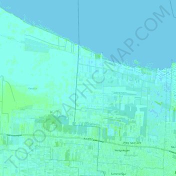
Name: Kwatta topographic map, elevation, terrain.
Location: Kwatta, Wanica, Suriname (5.82240 -55.30237 5.93964 -55.22446)
Average elevation: 2 m
Minimum elevation: -1 m
Maximum elevation: 10 m
Other topographic maps
Click on a map to view its topography, its elevation and its terrain.
Koewarasan
Suriname > Wanica > Wanica > Koewarasan
Koewarasan, Wanica, +597, Suriname
Average elevation: 5 m