
Thank you for supporting this site ❤️
Make a donation
Make a donation
Conotton topographic map
Click on the map to display elevation.
Thank you for supporting this site ❤️
Make a donation
Make a donation
About this map
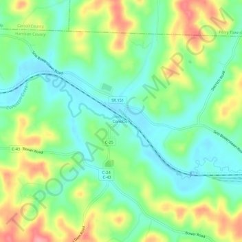
Name: Conotton topographic map, elevation, terrain.
Location: Conotton, Harrison County, Ohio, 44695, United States (40.39729 -81.16649 40.43729 -81.12649)
Average elevation: 321 m
Minimum elevation: 283 m
Maximum elevation: 385 m
Thank you for supporting this site ❤️
Make a donation
Make a donation
Other topographic maps
Click on a map to view its topography, its elevation and its terrain.
Thank you for supporting this site ❤️
Make a donation
Make a donation
Thank you for supporting this site ❤️
Make a donation
Make a donation