
Thank you for supporting this site ❤️
Make a donation
Make a donation
New Athens topographic map
Click on the map to display elevation.
Thank you for supporting this site ❤️
Make a donation
Make a donation
About this map
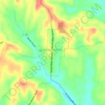
Name: New Athens topographic map, elevation, terrain.
Location: New Athens, Harrison County, Ohio, 43981, United States (40.17809 -81.00037 40.19009 -80.99012)
Average elevation: 359 m
Minimum elevation: 325 m
Maximum elevation: 396 m
Thank you for supporting this site ❤️
Make a donation
Make a donation
Other topographic maps
Click on a map to view its topography, its elevation and its terrain.
Thank you for supporting this site ❤️
Make a donation
Make a donation
Thank you for supporting this site ❤️
Make a donation
Make a donation