
Thank you for supporting this site ❤️
Make a donation
Make a donation
Nukuloa topographic map
Click on the map to display elevation.
Thank you for supporting this site ❤️
Make a donation
Make a donation
About this map
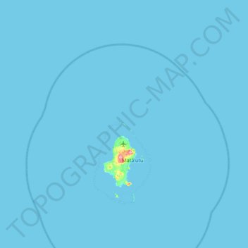
Name: Nukuloa topographic map, elevation, terrain.
Location: Nukuloa, Wallis and Futuna, France (-13.50905 -176.51580 -12.86905 -175.87580)
Average elevation: 1 m
Minimum elevation: 0 m
Maximum elevation: 145 m
Thank you for supporting this site ❤️
Make a donation
Make a donation
Other topographic maps
Click on a map to view its topography, its elevation and its terrain.
Thank you for supporting this site ❤️
Make a donation
Make a donation
Thank you for supporting this site ❤️
Make a donation
Make a donation