
City Park topographic map
Interactive map
Click on the map to display elevation.
About this map
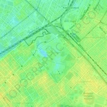
Name: City Park topographic map, elevation, terrain.
Location: City Park, 14th district, Budapest, Central Hungary, Hungary (47.50676 19.07235 47.52244 19.09396)
Average elevation: 113 m
Minimum elevation: 102 m
Maximum elevation: 121 m
Other topographic maps
Click on a map to view its topography, its elevation and its terrain.
15th district
15th district, Budapest, Central Hungary, Hungary
Average elevation: 121 m
11th district
11th district, Budapest, Central Hungary, Hungary
Average elevation: 145 m