
Been topographic map
Interactive map
Click on the map to display elevation.
About this map
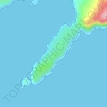
Name: Been topographic map, elevation, terrain.
Average elevation: 11 m
Minimum elevation: 0 m
Maximum elevation: 181 m
Other topographic maps
Click on a map to view its topography, its elevation and its terrain.
Bantry
Bantry, West Cork, County Cork, Munster, P75 AE30, Ierland
Average elevation: 67 m