
Thank you for supporting this site ❤️
Make a donation
Make a donation
Hyder topographic map
Click on the map to display elevation.
Thank you for supporting this site ❤️
Make a donation
Make a donation
About this map
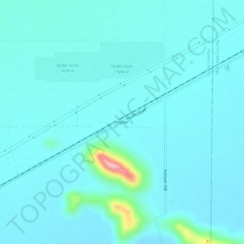
Name: Hyder topographic map, elevation, terrain.
Location: Hyder, Yuma County, Arizona, 85333, United States (32.99643 -113.36880 33.03643 -113.32880)
Average elevation: 173 m
Minimum elevation: 148 m
Maximum elevation: 376 m
Thank you for supporting this site ❤️
Make a donation
Make a donation
Other topographic maps
Click on a map to view its topography, its elevation and its terrain.