
Make a donation
Skåka topographic map
Click on the map to display elevation.
Make a donation
About this map
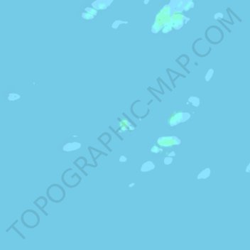
Name: Skåka topographic map, elevation, terrain.
Location: Skåka, Rødøy, Nordland, Norway (66.71958 12.47716 66.72069 12.48122)
Average elevation: 0 m
Minimum elevation: -5 m
Maximum elevation: 2 m
Make a donation
Other topographic maps
Click on a map to view its topography, its elevation and its terrain.
Norway
Norway's topography is defined by its rugged and varied terrain, shaped by ancient geological processes and glacial activity. Dominating the landscape are the Scandinavian Mountains, which run through the country and include peaks like Galdhøpiggen, the highest in Northern Europe at 2,469 meters (8,100 feet).…
Average elevation: 143 m
Make a donation
Jan Mayen
Jan Mayen consists of two geographically distinct parts. Nord-Jan has a round shape and is dominated by the 2,277 m (7,470 ft) high Beerenberg volcano with its large ice cap (114.2 km2 or 44 sq mi), which can be divided into twenty individual outlet glaciers. The largest of those is Sørbreen, with an area of…
Average elevation: 23 m
Make a donation
Make a donation
Make a donation
Make a donation
Make a donation
Make a donation
Make a donation