
Buta topographic map
Interactive map
Click on the map to display elevation.
About this map
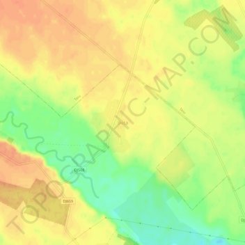
Name: Buta topographic map, elevation, terrain.
Location: Buta, Negrași, Argeș, 117537, Roumanie (44.60623 25.09844 44.64623 25.13844)
Average elevation: 204 m
Minimum elevation: 178 m
Maximum elevation: 219 m
Other topographic maps
Click on a map to view its topography, its elevation and its terrain.