
Lower Seletar Reservoir topographic map
Interactive map
Click on the map to display elevation.
About this map
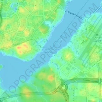
Name: Lower Seletar Reservoir topographic map, elevation, terrain.
Location: Lower Seletar Reservoir, Central, Singapore (1.39754 103.82792 1.42499 103.86326)
Average elevation: 11 m
Minimum elevation: -4 m
Maximum elevation: 33 m
Other topographic maps
Click on a map to view its topography, its elevation and its terrain.