
Teluk Intan topographic map
Click on the map to display elevation.
About this map
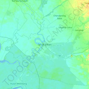
Name: Teluk Intan topographic map, elevation, terrain.
Location: Teluk Intan, Hilir Perak, Perak, 36000, Malaysia (3.86318 100.86618 4.18318 101.18618)
Average elevation: 6 m
Minimum elevation: 0 m
Maximum elevation: 48 m
Other topographic maps
Click on a map to view its topography, its elevation and its terrain.
Proposed Aboriginal Area Reserve of Chinggong (Jernang)
Malaysia > Perak > Kampung Behrang Ulu
Average elevation: 74 m
Kampung Baru Simpang Pulai
Malaysia > Perak > Kg. Baru Simpang Pulai > Kampung Baru Simpang Pulai
Average elevation: 54 m