
吉林市 topographic map
Interactive map
Click on the map to display elevation.
About this map
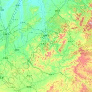
Name: 吉林市 topographic map, elevation, terrain.
Location: 吉林市, 吉林省, 中国 (42.55877 125.63987 44.64608 127.91890)
Average elevation: 379 m
Minimum elevation: 154 m
Maximum elevation: 1,647 m
Other topographic maps
Click on a map to view its topography, its elevation and its terrain.