
十四道沟镇 topographic map
Interactive map
Click on the map to display elevation.
About this map
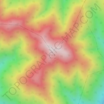
Name: 十四道沟镇 topographic map, elevation, terrain.
Location: 十四道沟镇, 长白山管委会, 长白朝鲜族自治县, 白山市, 吉林省, 中国, 望天鹅 (41.72777 127.89936 41.72787 127.89946)
Average elevation: 1,678 m
Minimum elevation: 1,235 m
Maximum elevation: 2,039 m
Other topographic maps
Click on a map to view its topography, its elevation and its terrain.