
十八台 topographic map
Interactive map
Click on the map to display elevation.
About this map
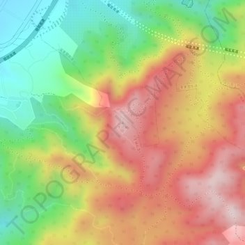
Name: 十八台 topographic map, elevation, terrain.
Location: 十八台, 呈贡区, 云南省, 中国 (24.80169 102.89064 24.80179 102.89074)
Average elevation: 2,266 m
Minimum elevation: 2,030 m
Maximum elevation: 2,476 m
Other topographic maps
Click on a map to view its topography, its elevation and its terrain.