
洛羊街道 topographic map
Interactive map
Click on the map to display elevation.
About this map
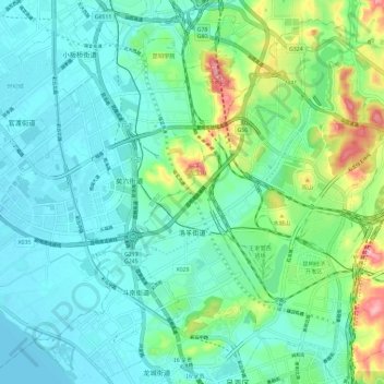
Name: 洛羊街道 topographic map, elevation, terrain.
Location: 洛羊街道, 呈贡区, 云南省, 中国 (24.89351 102.79061 24.98800 102.90659)
Average elevation: 1,927 m
Minimum elevation: 1,886 m
Maximum elevation: 2,069 m
Other topographic maps
Click on a map to view its topography, its elevation and its terrain.