
吴家营街道 topographic map
Interactive map
Click on the map to display elevation.
About this map
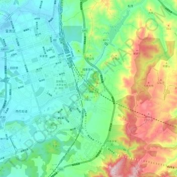
Name: 吴家营街道 topographic map, elevation, terrain.
Location: 吴家营街道, 呈贡区, 昆明市, 云南省, 中国 (24.79808 102.83254 24.90751 102.92476)
Average elevation: 2,067 m
Minimum elevation: 1,899 m
Maximum elevation: 2,462 m
Other topographic maps
Click on a map to view its topography, its elevation and its terrain.