
大渔街道 topographic map
Interactive map
Click on the map to display elevation.
About this map
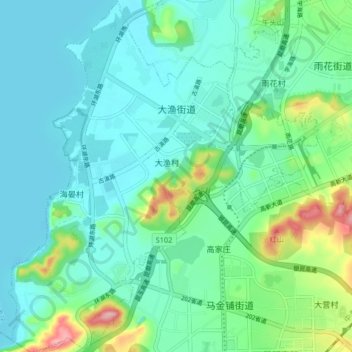
Name: 大渔街道 topographic map, elevation, terrain.
Location: 大渔街道, 呈贡区, 昆明市, 云南省, 中国 (24.77849 102.75287 24.85260 102.82485)
Average elevation: 1,922 m
Minimum elevation: 1,884 m
Maximum elevation: 2,061 m
Other topographic maps
Click on a map to view its topography, its elevation and its terrain.