
1739 topographic map
Interactive map
Click on the map to display elevation.
About this map
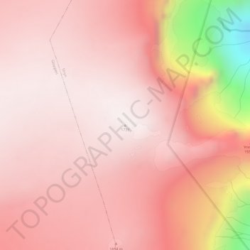
Name: 1739 topographic map, elevation, terrain.
Location: 1739, Stryn, Sogn og Fjordane, Noruega (61.72933 6.71932 61.72943 6.71942)
Average elevation: 1,549 m
Minimum elevation: 835 m
Maximum elevation: 1,738 m
Other topographic maps
Click on a map to view its topography, its elevation and its terrain.