
Nordland topographic map
Interactive map
Click on the map to display elevation.
About this map
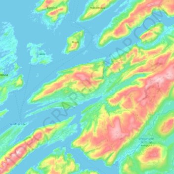
Name: Nordland topographic map, elevation, terrain.
Location: Leirfjord, Nordland, Noruega (65.94922 12.61704 66.24240 13.49049)
Average elevation: 207 m
Minimum elevation: -9 m
Maximum elevation: 1,063 m
Other topographic maps
Click on a map to view its topography, its elevation and its terrain.