
Møre og Romsdal topographic map
Interactive map
Click on the map to display elevation.
About this map
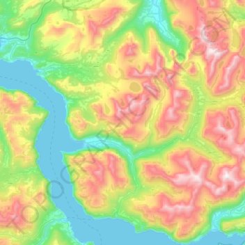
Name: Møre og Romsdal topographic map, elevation, terrain.
Location: Stordal, Møre og Romsdal, 6250, Noruega (62.31870 6.82716 62.48431 7.33554)
Average elevation: 531 m
Minimum elevation: 0 m
Maximum elevation: 1,519 m
Other topographic maps
Click on a map to view its topography, its elevation and its terrain.