
Østfold topographic map
Interactive map
Click on the map to display elevation.
About this map
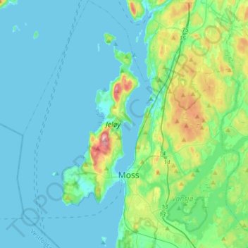
Name: Østfold topographic map, elevation, terrain.
Location: Moss, Østfold, Noruega (59.39306 10.53668 59.53458 10.78640)
Average elevation: 23 m
Minimum elevation: -1 m
Maximum elevation: 140 m
Other topographic maps
Click on a map to view its topography, its elevation and its terrain.